Importing and Aligning a Model with a GIS Basemap(3D)
1. Basic operations
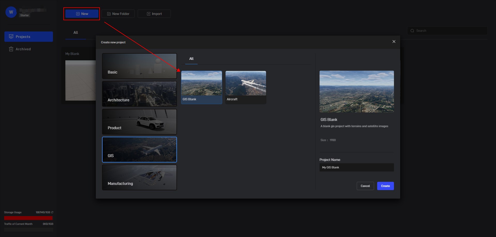
Create a new blank GIS project in Wings Engine.
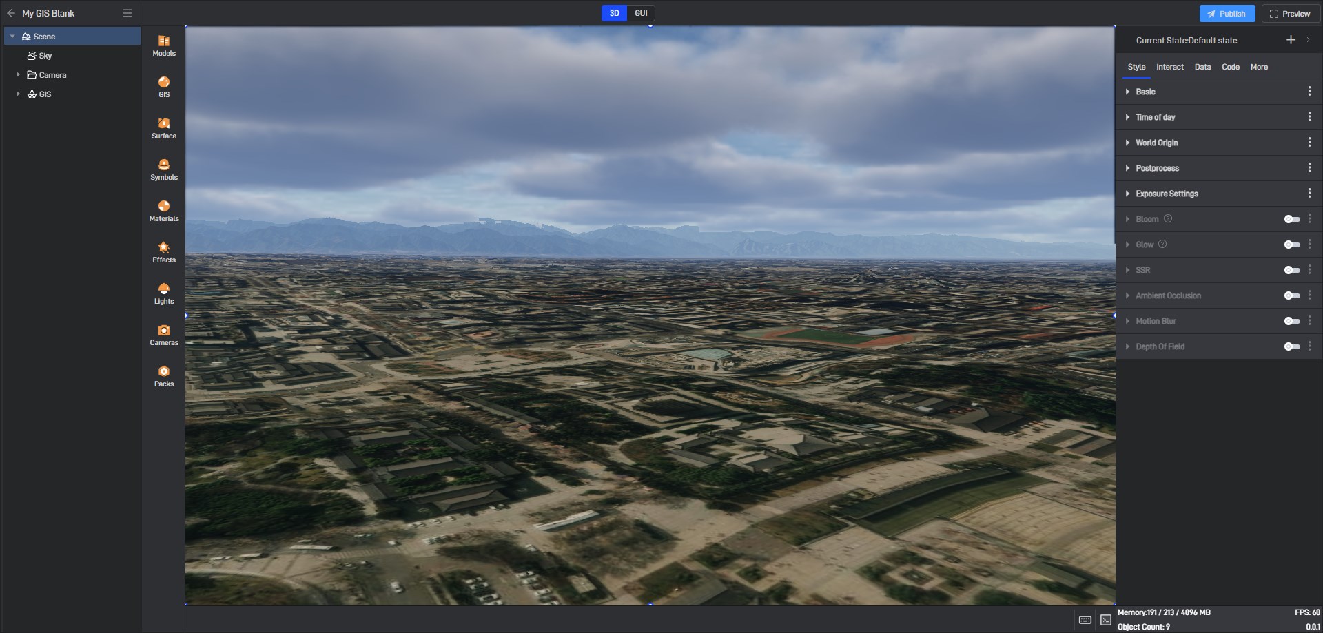
In the “Sky” settings, turn off “Cloud” and “Atmospheric Scattering” (turning them on will affect the transparency of the image, you can turn them on again after the operation).
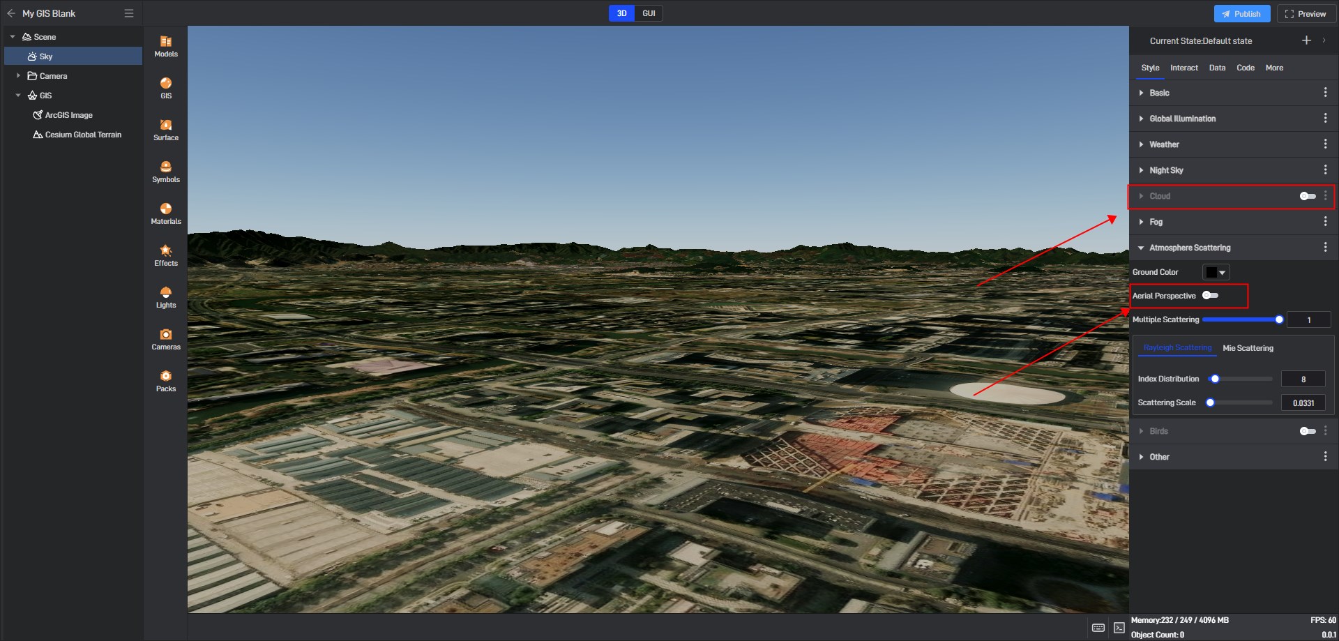
Select “Bird’s Eye” in the left camera settings column.
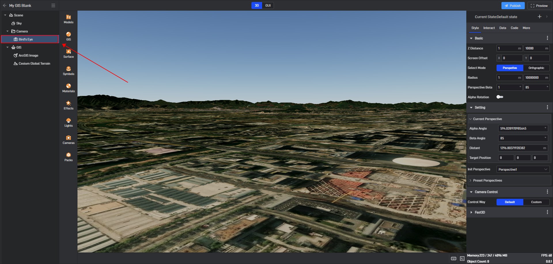
Follow the steps below
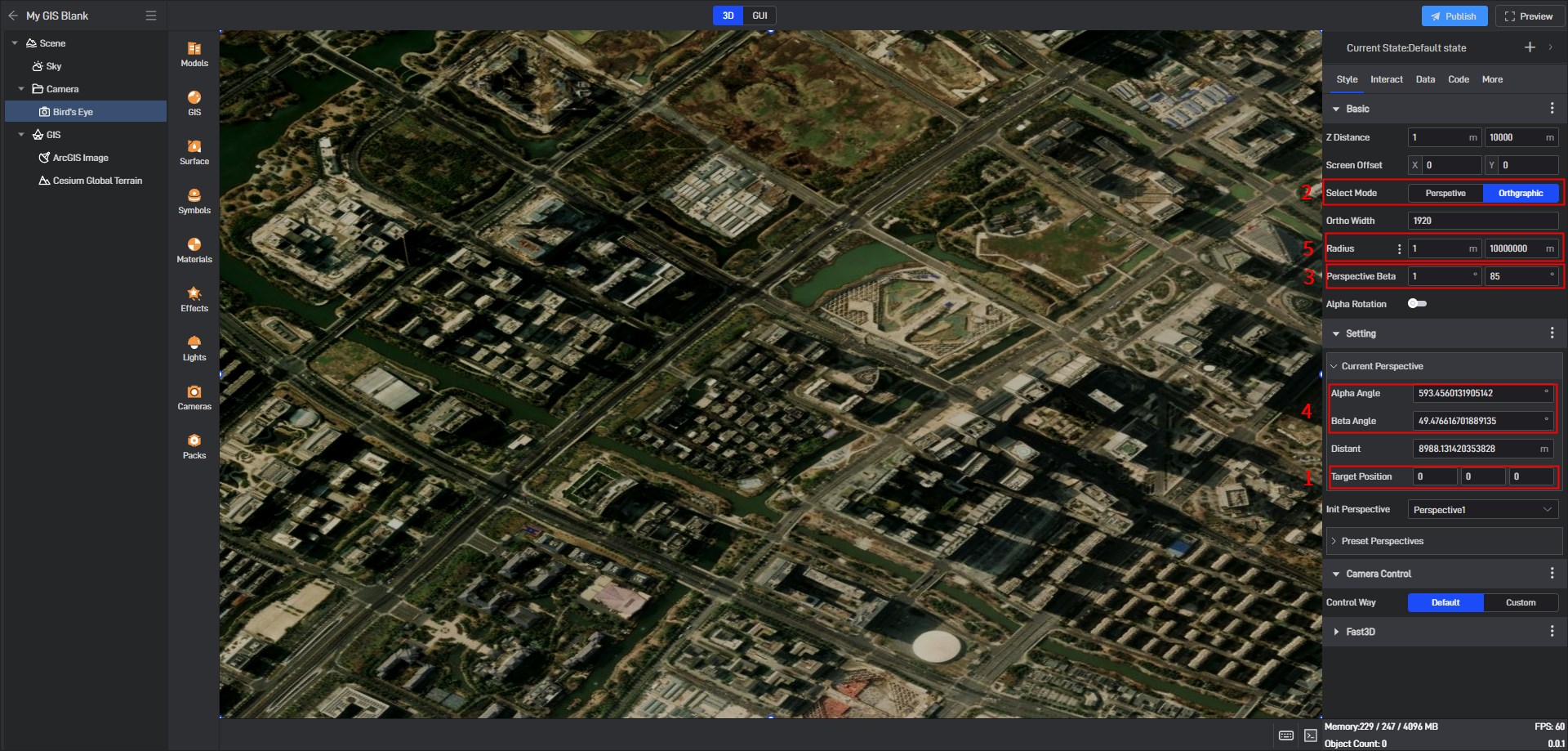
Set the camera target and confirm it is 0.0.0 (the camera target must be 0.0.0)
Select the view and switch the perspective camera to the orthographic camera
Change the vertical angle limit from 1 to 0
Change the horizontal rotation to 90° and the vertical rotation to 0
Change the orthographic width to 1920 (1920 corresponds to 1920 meters. The default is 1920*1080. If you need to enlarge it, adjust it in the same proportion)
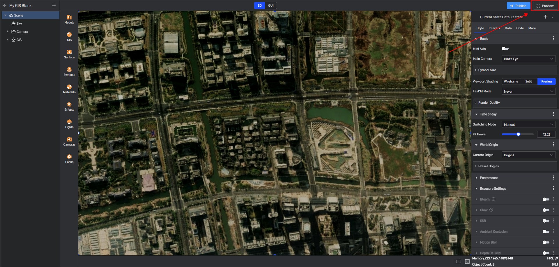
After setting, enter the full-screen preview to save the screenshot.
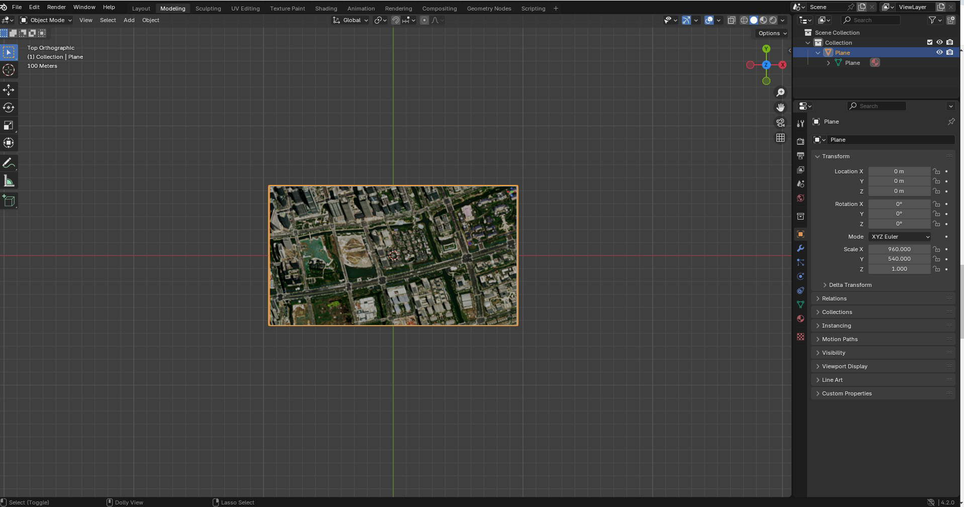
Open blender, create a new plane and adjust the size to the corresponding orthogonal width of 1920x1080, then apply the saved screenshot to the plane as a map, then start modeling and export.
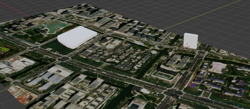
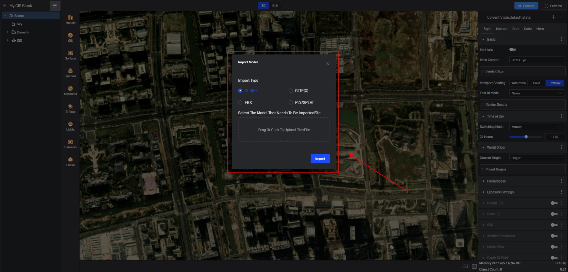
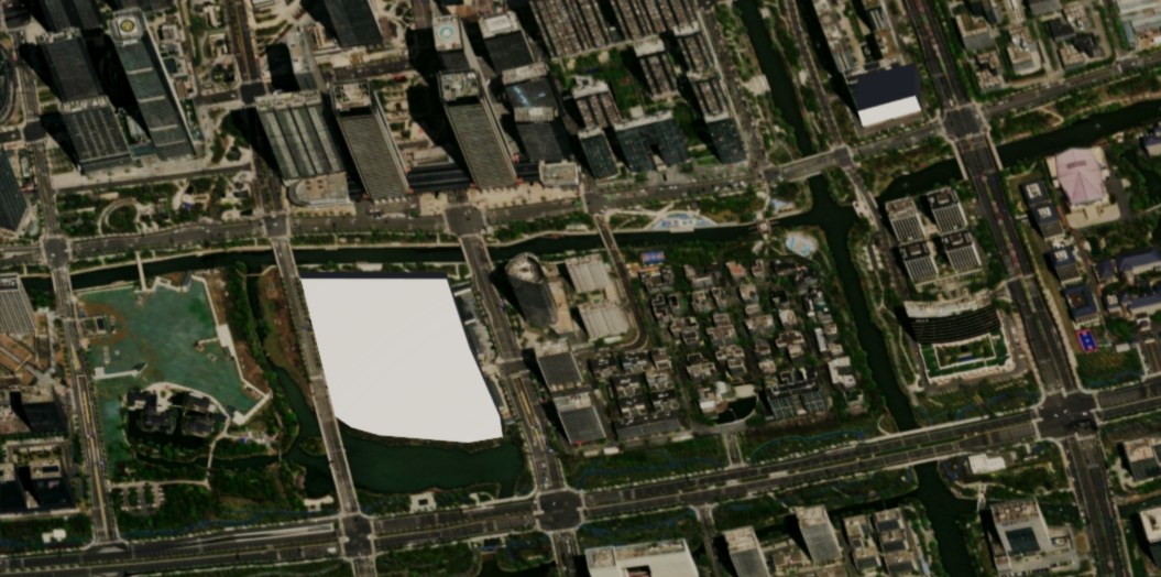
Import the exported model into a GIS project.
2. Precautions
The center longitude and latitude correspond to the 0 point of the modeling software
The camera target must correspond to 0 0 0
The default orthogonal width corresponds to 1920m*1080m (change the size to the same proportion as much as possible) Modeling software 1920 corresponds to Y 1080 corresponds to X