Loading video...

Naval Exercise - Venezuela

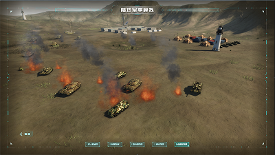
Focusing on the three-dimensional maritime military exercise visualization model of Venezuela, it accurately locates combat units through latitude and longitude grids. The red conical beams intuitively display the satellite detection range, allowing simulation of the naval confrontation between both sides and providing intuitive dynamic support for wargaming and strategic analysis.
Author: Wings Engine
Ratio: 16:9
Size: 98.43MB
Updated: 2026-06-03

Notes:

1. Plan-only templates work only while the plan is active. After expiry, the project can no longer be used.

2. If you copy content from a plan-only template into another project, that project also needs the same plan.

Desktop Client
Edit locally Local & secure No browser limits Switch to LAN SaaS
Download Client