Loading video...

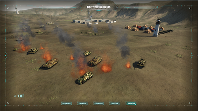
Land Military Simulation

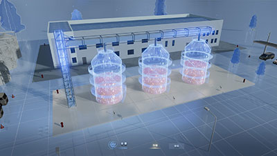
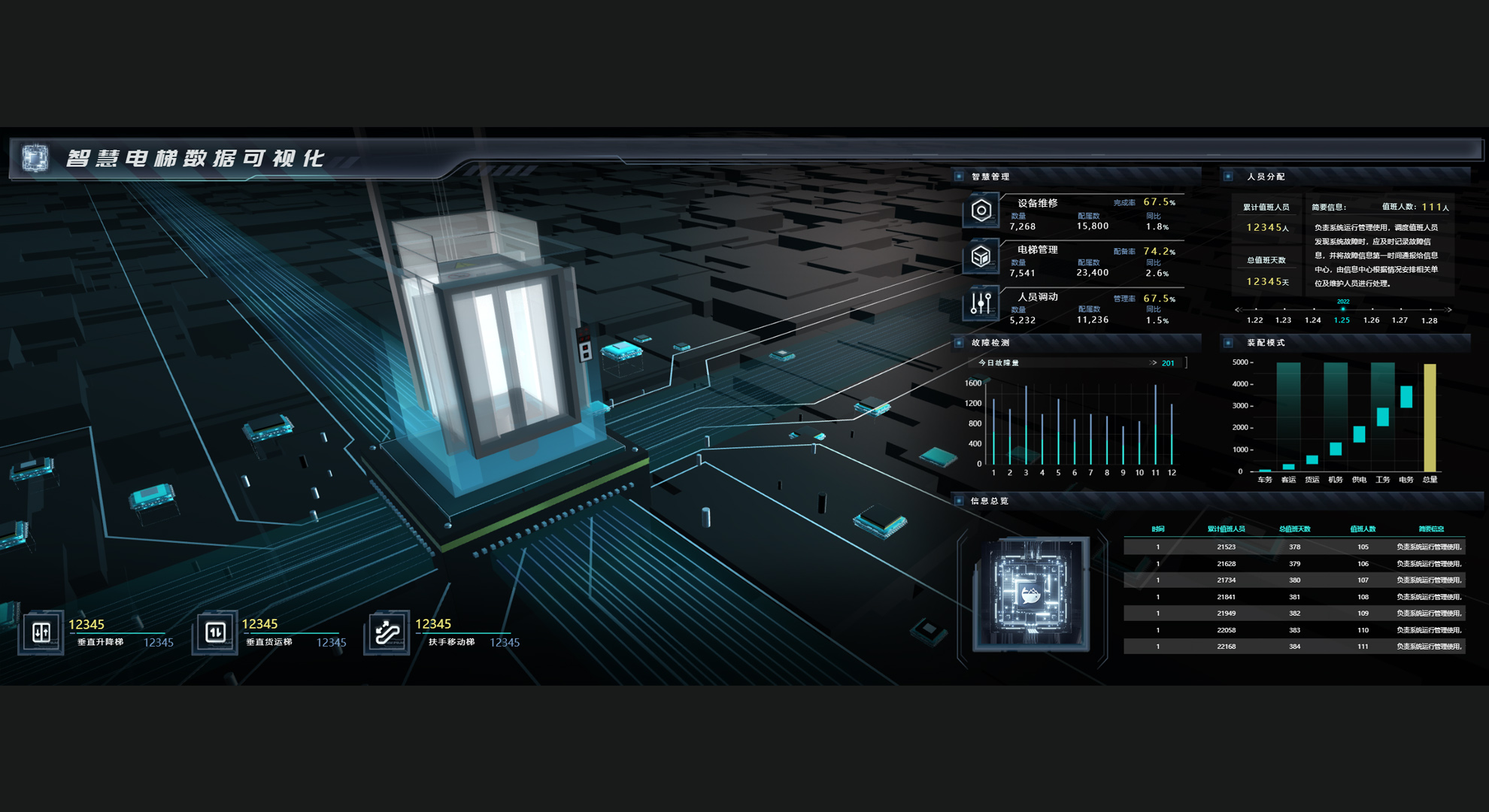
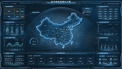
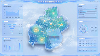
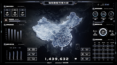
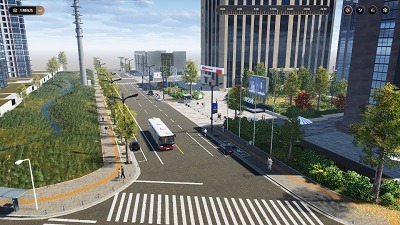
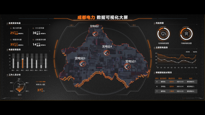
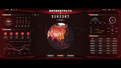
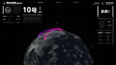
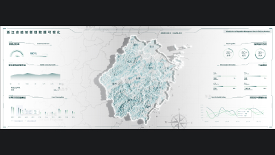
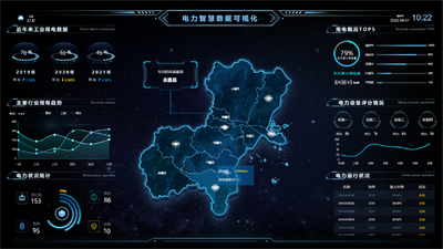
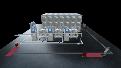
Based on a high-performance graphics rendering and big data integrated interactive 3D visualization platform, it is mainly used for simulation and deduction of land combat scenarios, situational awareness, command training, and equipment verification. It deeply integrates real geographic information (such as elevation DEM, satellite images, roads, and buildings) with tactical entities (troops, vehicles, weapons, ballistics, etc.), realizing dynamic, real-time, multi-angle, and interactive battlefield environment presentation on ultra-large screens or video walls.
Author: Wings Engine
Ratio: 16:9
Size: 220.67MB
Updated: 2026-06-03

Notes:

1. Plan-only templates work only while the plan is active. After expiry, the project can no longer be used.

2. If you copy content from a plan-only template into another project, that project also needs the same plan.

Desktop Client
Edit locally Local & secure No browser limits Switch to LAN SaaS
Download Client