Loading video...

Vesselvisualization

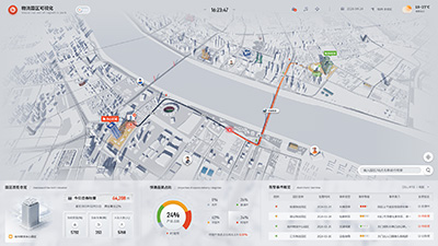
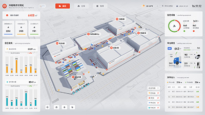
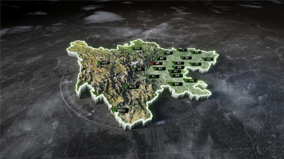
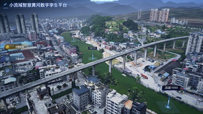
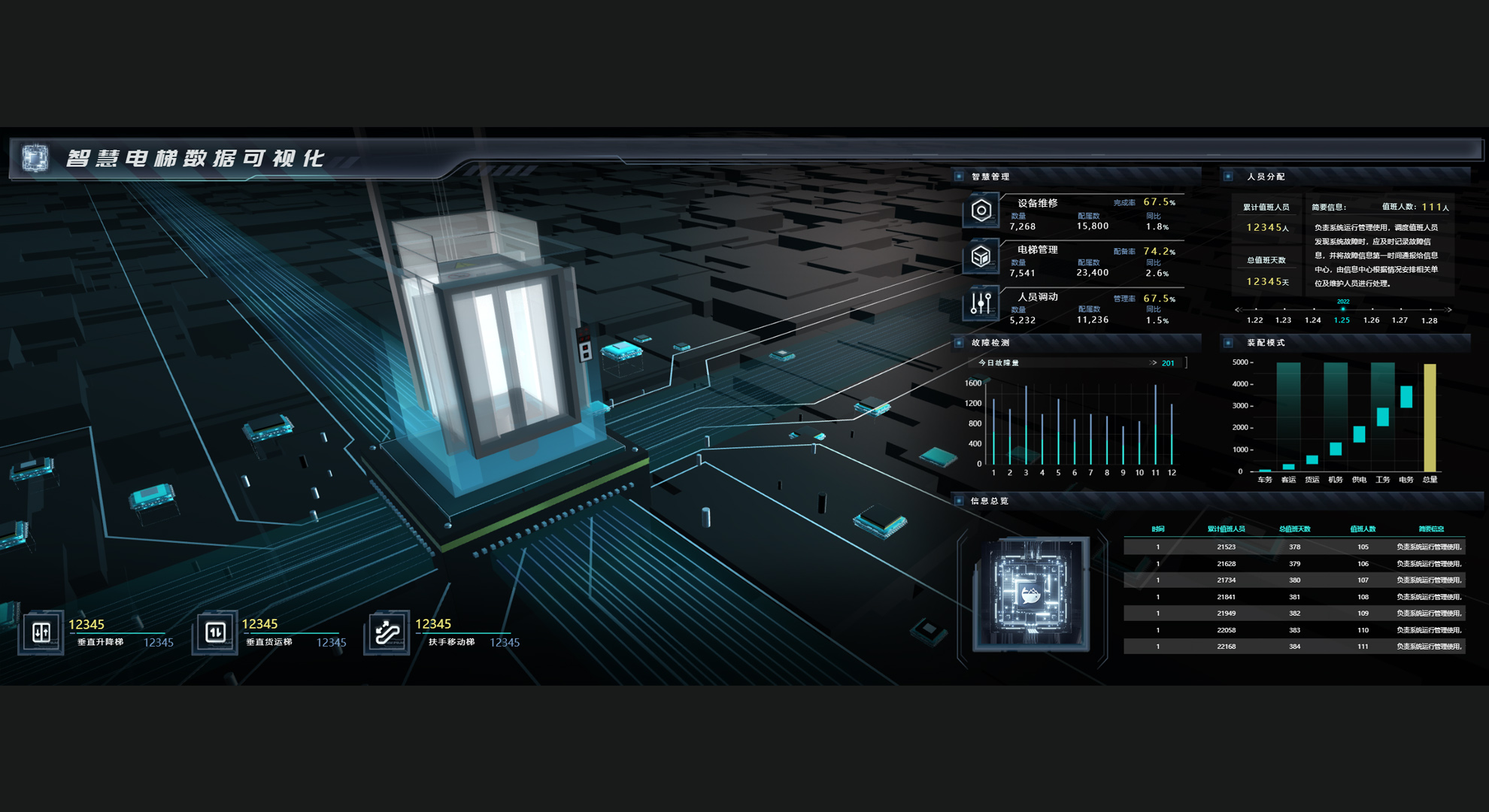
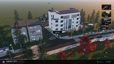
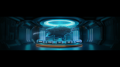
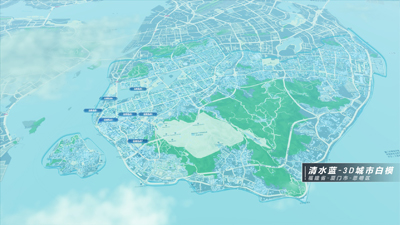
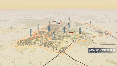
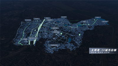
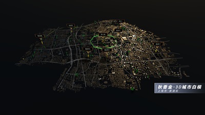
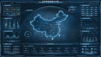
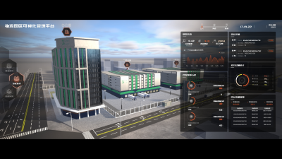
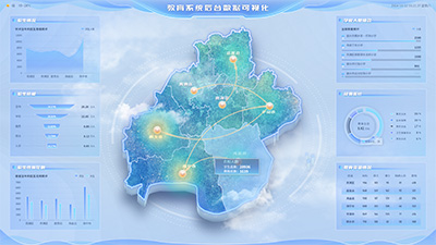
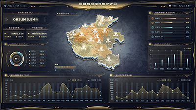
The real-time ship visualization system is a digital solution based on GIS (Geographic Information System) and AIS (Automatic Identification System for ships), capable of tracking, monitoring, and displaying ship dynamic information globally or in specific waters in real time.
Author: Wings Engine
Ratio: 16:9
Size: 317.09MB
Updated: 2026-05-28

Notes:

1. Plan-only templates work only while the plan is active. After expiry, the project can no longer be used.

2. If you copy content from a plan-only template into another project, that project also needs the same plan.

Desktop Client
Edit locally Local & secure No browser limits Switch to LAN SaaS
Download Client