Loading video...

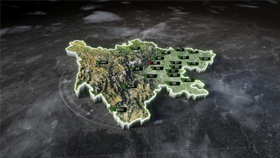
GIS Terrain Scene

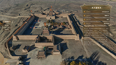
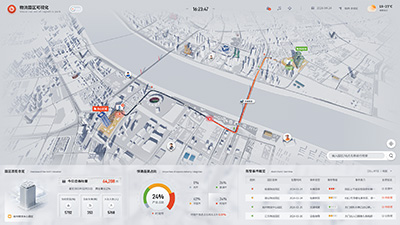
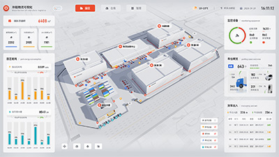
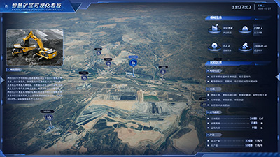
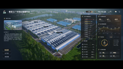
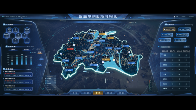
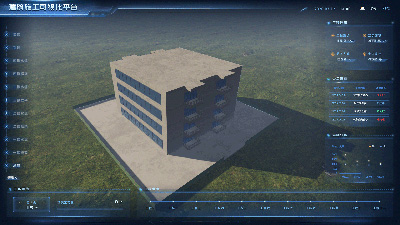
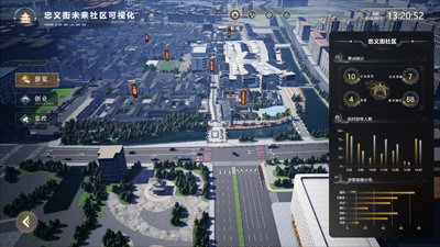
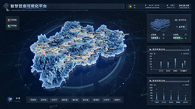
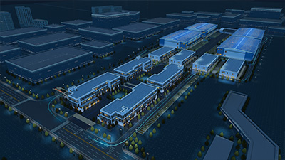
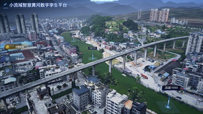
This Dashboard uses three-dimensional GIS terrain data combined with white film substrate technology to build an urban scene visualization platform, integrating a real-time monitoring system, building information model data annotations, and monitoring equipment locations. Through multi-source data integration, it achieves full-area perception and intelligent analysis of urban infrastructure operations, providing digital decision support for urban comprehensive management.
Author: 山海鲸可视化
Ratio: 16:9
Size: 52.51MB
Updated: 2025-06-12

Notes:

1. Plan-only templates work only while the plan is active. After expiry, the project can no longer be used.

2. If you copy content from a plan-only template into another project, that project also needs the same plan.

Desktop Client
Edit locally Local & secure No browser limits Switch to LAN SaaS
Download Client