Loading video...

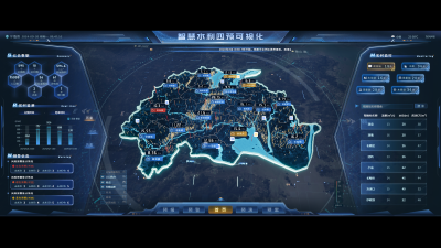
Smart Water Conservancy Four-Pre Visualization

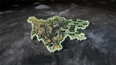
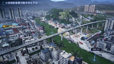
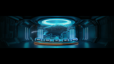
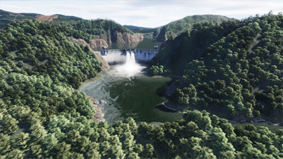
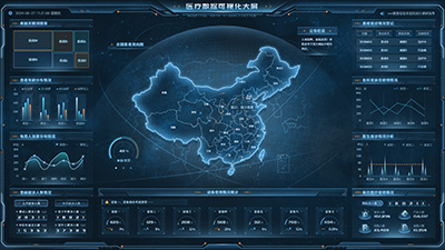
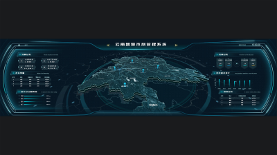
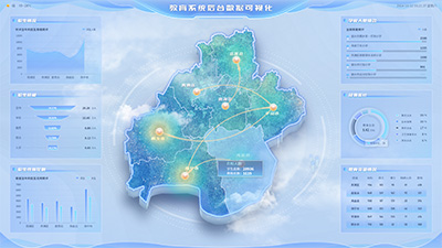
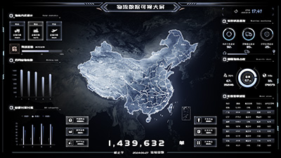
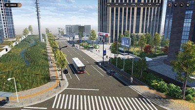
The smart water conservancy project integrates forecasting, early warning, simulation, and equipment management functions, using technologies such as cloud maps, weather maps, and inundation simulations to achieve real-time monitoring and intelligent management of water resources. The project provides features such as time range selection, scenario visualization, detailed data pop-ups, risk area marking, 2D and 3D inundation simulations, supports drone inspections and scenario roaming, improving monitoring efficiency. In addition, it also provides meteorological information, geographical information support such as linked map markers in Whale Map, to support scientific decision-making for flood control and drought relief.
Author: 山海鲸可视化
Ratio: 16:9
Size: 632.52MB
Updated: 2026-06-01

Notes:

1. Plan-only templates work only while the plan is active. After expiry, the project can no longer be used.

2. If you copy content from a plan-only template into another project, that project also needs the same plan.

Desktop Client
Edit locally Local & secure No browser limits Switch to LAN SaaS
Download Client