Loading video...

Library Visualization

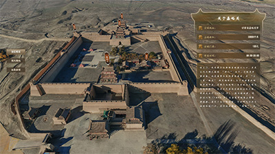
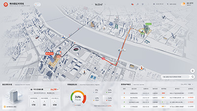
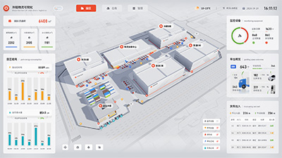
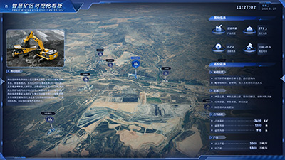
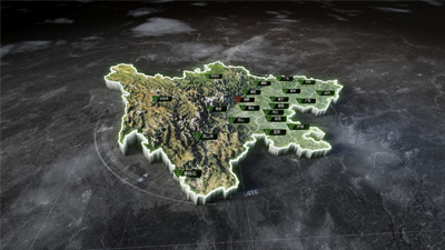
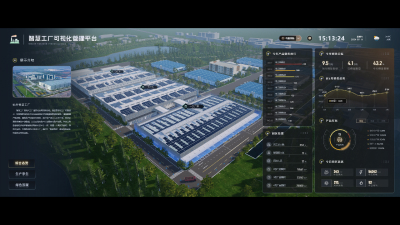
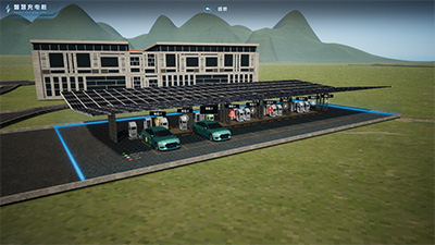
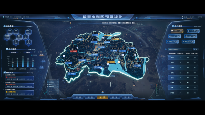
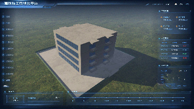
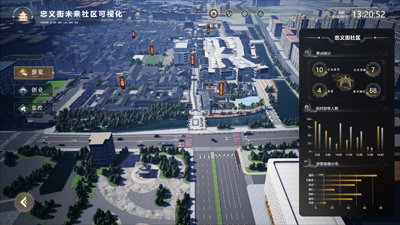
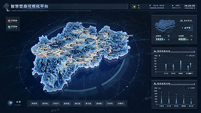
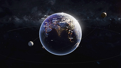
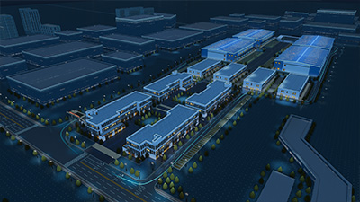
Using Geographic Information System (GIS) technology and visualization methods, the geographic information, facilities, transportation, and other conditions around the library are presented in a graphical way, helping users better understand and utilize library resources. At the same time, it can also provide decision support for urban planning and traffic management, promoting sustainable development of cities and society.
Author: Wings Engine
Ratio: 16:9
Size: 67.27MB
Updated: 2024-03-12

Notes:

1. Plan-only templates work only while the plan is active. After expiry, the project can no longer be used.

2. If you copy content from a plan-only template into another project, that project also needs the same plan.

Desktop Client
Edit locally Local & secure No browser limits Switch to LAN SaaS
Download Client