Loading video...

Smart Connected Vehicle Solution

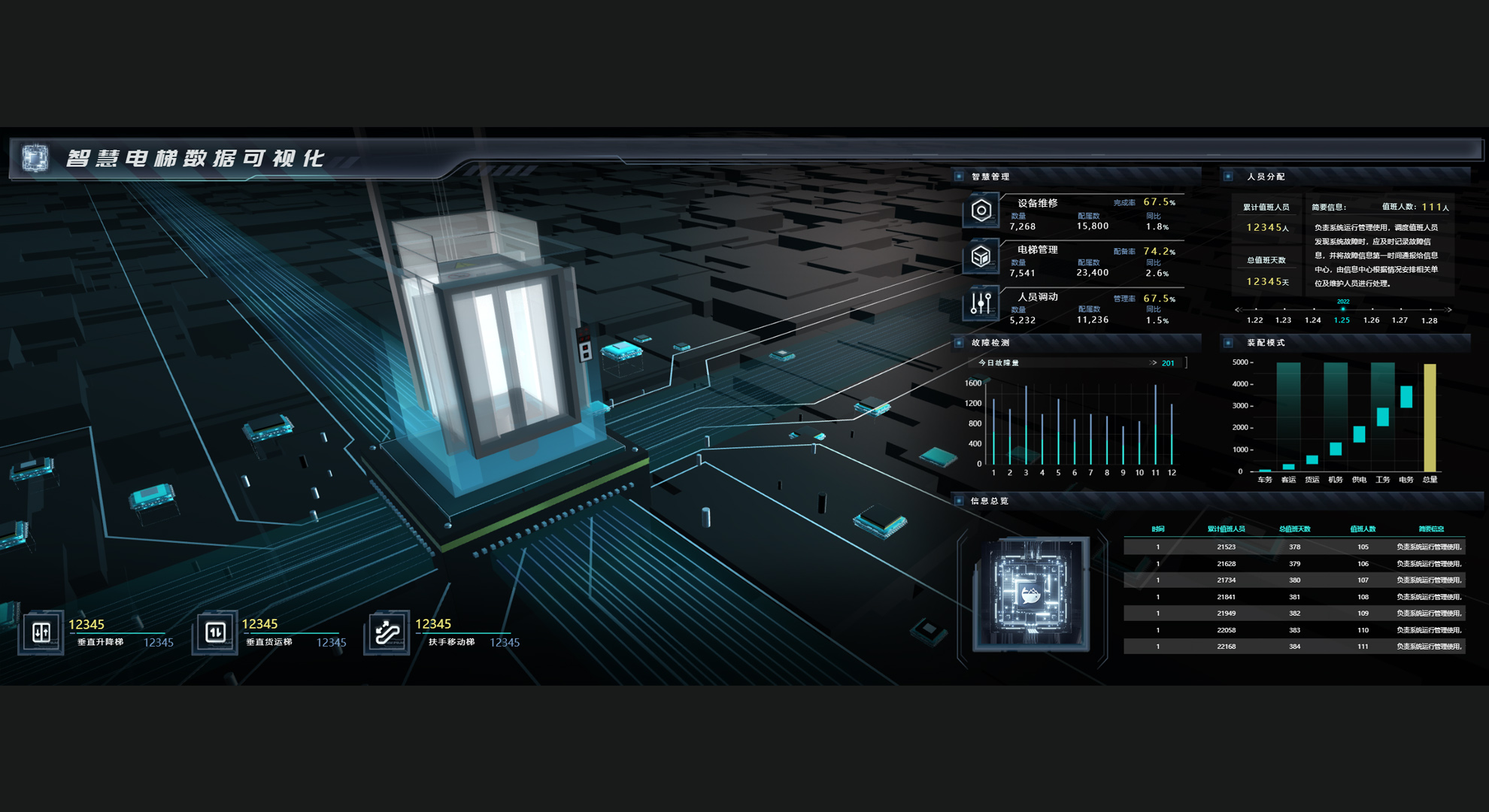
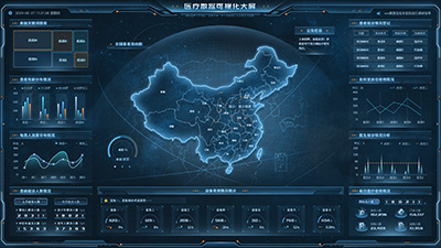
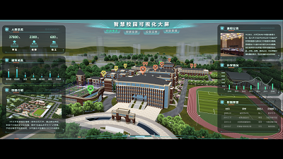
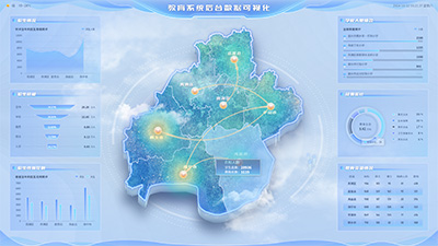
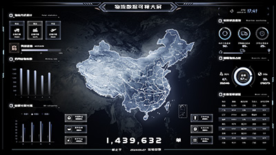
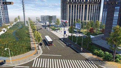
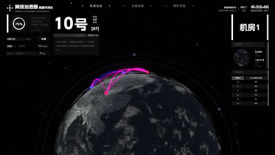
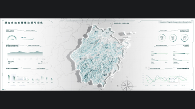
This system uses digital twin technology to combine vehicle data with three-dimensional GIS spatial data. It can not only monitor various vehicle indicators and their locations in real time, but also provide real-time alerts for sudden faults. Moreover, by enhancing the data dimensions, it achieves more comprehensive and refined vehicle safety management, greatly improving the safety level of vehicle operation.
Author: Wings Engine
Ratio: 16:9
Size: 392.25MB
Updated: 2025-09-19

Notes:

1. Plan-only templates work only while the plan is active. After expiry, the project can no longer be used.

2. If you copy content from a plan-only template into another project, that project also needs the same plan.

Desktop Client
Edit locally Local & secure No browser limits Switch to LAN SaaS
Download Client